Troubling Boundaries: Ornament and Early Modern Cartography
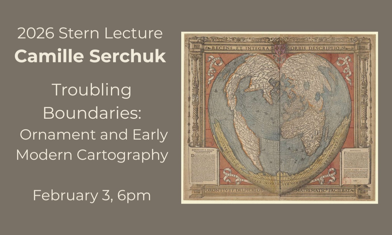
Please jpoin us for the 2026 Stern Lecture by Camille Serchuk, "Troubling Boundaries: Ornament and Early Modern Cartography."
Abstract:
In the sixteenth century, European geographical knowledge and sovereign boundaries were often so protean that efforts to depict them were largely temporary and tentative. The maps of the period—drawn, painted, printed, and sometimes even woven, embroidered, enameled—relied on a robust repertory of ornamental motifs, often identical to those used around more obviously “artistic” images, which served as a lens through which geographical space could be understood, and oriented the viewer to the purpose of the map. Arguing for the agency of the cartographic frame, this talk will examine how ornament, particularly on cartographic edge, both steadied and sabotaged the transmission of the constantly revised image of the world, and how it explained, enhanced, and sometimes upended cartographic meaning in the early modern period.
Bio:
Camille Serchuk is Professor of Art History and Chair of the Department of Art and Design at Southern Connecticut State University. Her research focuses on the interrelations between artistic and mapping traditions in late medieval and early modern Europe, and it has been supported by fellowships from the National Humanities Center, The John Carter Brown Library, The Huntington Library, The Newberry Library, and the J.B. Harley Trust. Her book Lies of the Land: Painted Maps in Late Medieval and Early Modern France was published earlier this year by Penn State University Press. Her next project is tentatively titled "Border Control: Cartography and Its Frames in Early Modernity, 1500-1650."
